
Checkout nostr:npub1rach342hnt3wa0qfqk0pey0exs2drcxfc0azs8eurwnee9vu64vs834atg his work first!
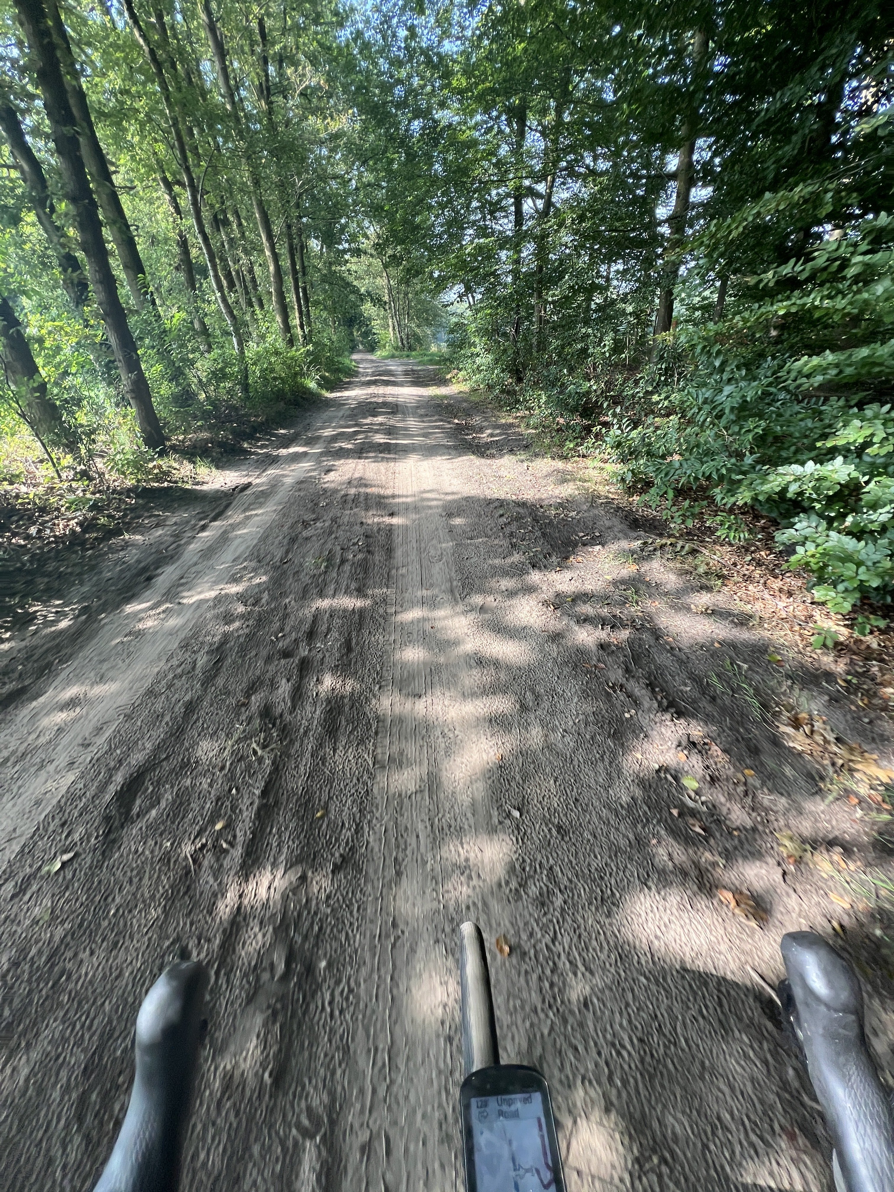
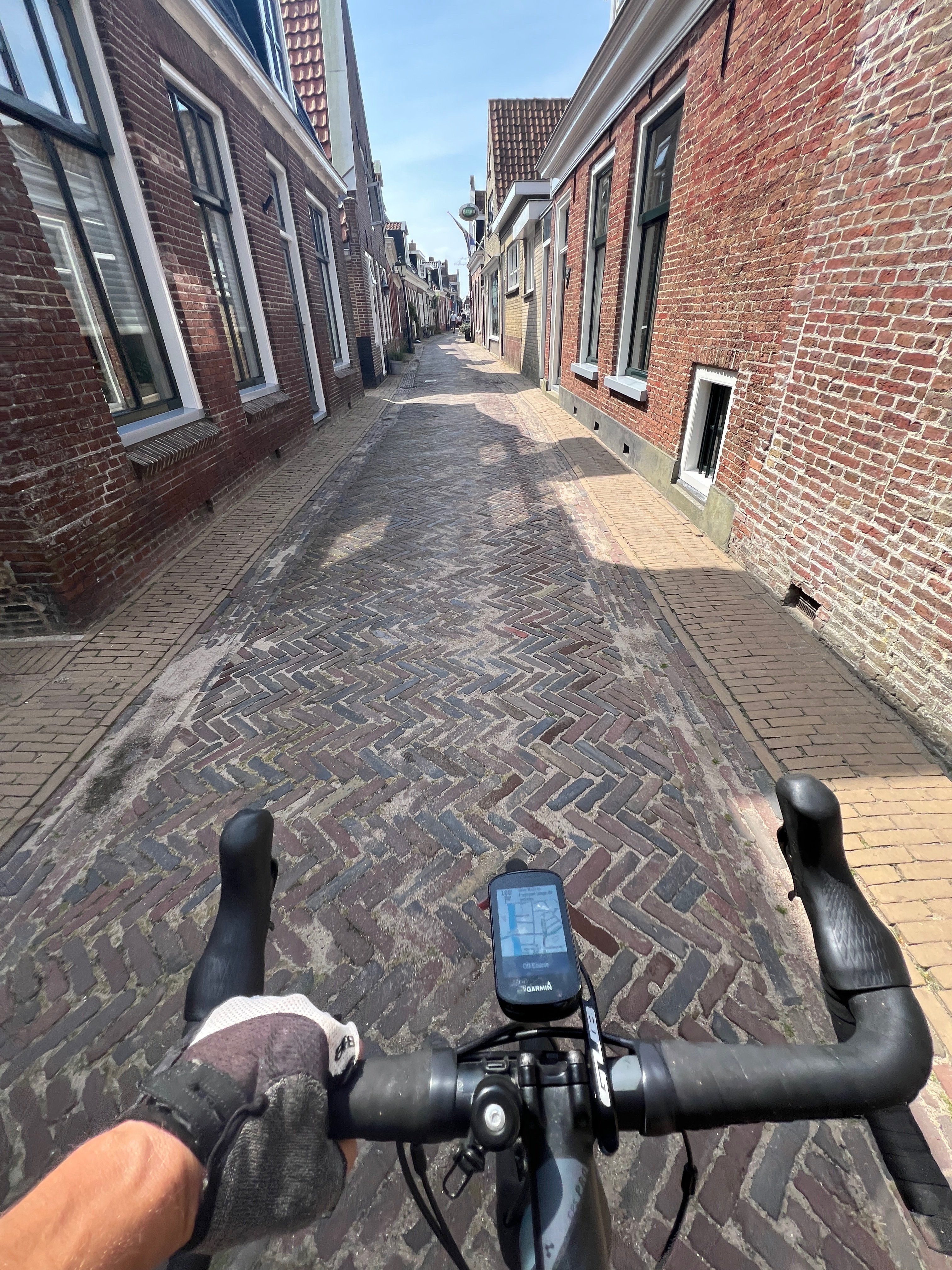
POW #nostride 65 KM on the gravel bike🚴♂️ nostr:npub1qe3e5wrvnsgpggtkytxteaqfprz0rgxr8c3l34kk3a9t7e2l3acslezefe is working on something cool for all #nostr run/ride -ers 🤙📸 #photography #health #sport 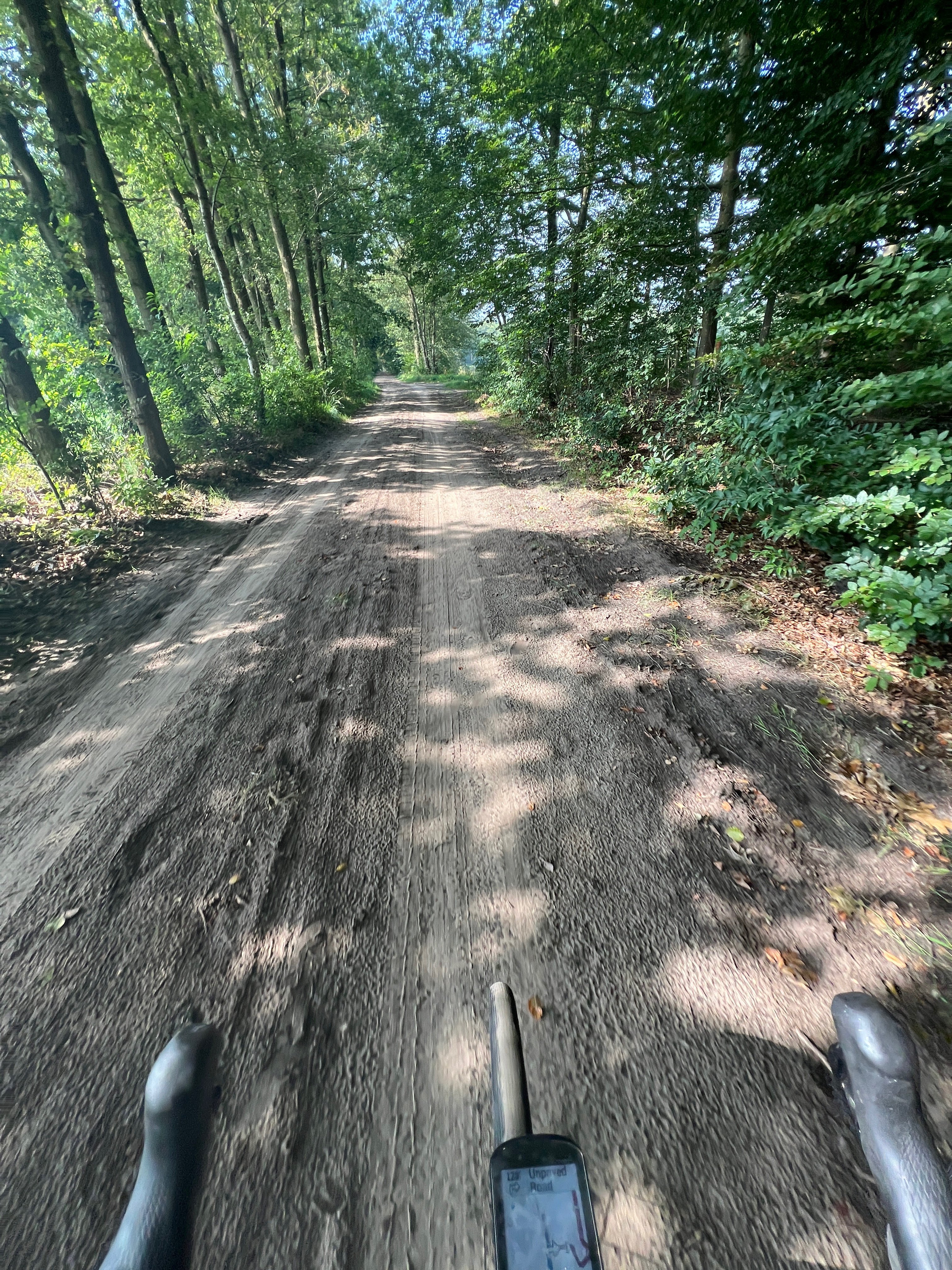
Discussion

Are you working in an activity based nostr client as well? If so would love your input on the activity nip!
If you ask me, I am non tech 😅 But would be cool to upload the routes. Also I have a sh*t load of photos with GPS (see my nostr:npub105em547c5m5gdxslr4fp2f29jav54sxml6cpk6gda7xyvxuzmv6s84a642 ) I hope still
Some day I can add it all to a map on #Nostr like the app polarsteps. Because this was always my work making content around the world 📸
In '22 I've worked out a concept for a social app for cyclists, with ideas and sketches. It was based on a other social app for petrolheads (where I was the product owner on behalf of my client). Here's a rough sketch 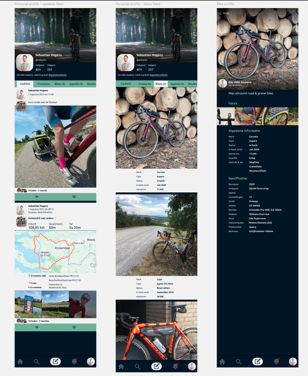
I know it's possible to build this with Nostr, but we need a decent NIP for activities (and the GPX data) and you're just set the first landmark for this 🙏 I'm a Strava power user as well, so I pretty well know what we have to build. As for now I'm very busy with nostr:npub1phpdev2d38u5hzs4jrsh360mevh0rjctu9669quy97wu23u8sqdqpfha0j which has my focus regarding Nostr dev work. The rest of the time I'm busy with client work, building fullstack solutions with #Drupal.
It would be really cool to be able to share hikes, especially long ones, with just someone following an npub.
Like a npub with just the hikes of that person? Maybe their booths should get a npub then 😄
In my concept for cycling activities the idea is to attach a keypair to a bike as well so it would be possible to broadcast event on behalf of your bike instead of you as a cyclist or your user keypair.
Yes. I see that the amethyst client has the ability to tag locations already built in. I would love it if we could just render path files (IIRC, GMX files?) from FOSS tracking apps or even non-FOSS systems like Garmin or the newer Motorola satellite coms/tracking devices, of which I own one for the solo hiking I do as an emergency beacon.
So, the system would have to be able to read path data, overlay it onto a map (OSM utilization, probably), render an image, then also allow for other media to be attached to pins on the path automatically so people can share pics or comments about a particular spot or even specifically at a particular heading from a particular spot.
There are apps that do this for hiking like FAROUT. But... I'd rather have this on nostr, obviously.