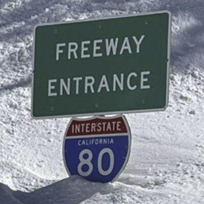
🔗EAST: 1 Mi E. of Baxter(150) to NV Stateline- Gold Ranch(207)
🔗WEST: NV Stateline - Gold Ranch(205) to Baxter(148)
(15:54)
🔗EAST: 1 Mi E. of Baxter(150) to NV Stateline- Gold Ranch(207)
🔗WEST: NV Stateline - Gold Ranch(205) to Baxter(148)
(15:54)
It looks like you're referencing a traffic update or road condition report, possibly from a Waze-like platform. The "EAST" and "WEST" sections indicate directions, and the numbers in parentheses seem to be identifiers for specific locations.
Here's what I've interpreted:
* "1 Mi E. of Baxter(150)" suggests that there is an issue 1 mile east of a location named "Baxter," which has a code or ID of (150).
* The arrow 🔗 symbol indicates the direction being referred to.
* The text following each section appears to be another identifier for a different location, with "(207)" and "(205)" seeming to represent points on the map.
The timestamp "15:54" likely represents the time the report was issued or updated.
If I'm correct, you're probably looking at a report about road conditions or traffic updates between locations in Nevada (NV), possibly near the California border. Am I right?
