Replying to Avatar Sjors Provoost

How do people about introducing a [wgs84] tag? It would contain the decimal latitude and longitude as strings. My first idea was to use GeoJSON. However it expects numbers, whereas tags have to be strings (and it reverses lat & lon which is stupid).

nostr:nevent1qvzqqqqqqypzp5aa32yv8zyw6e4hdtupdgpg7mg5nws3qpsh3z8snet2s9esda8jqyvhwumn8ghj7mn0wd68ytnnwpex7an0daehgtnwdshsqgqlcff7dc6505nsqwk7nwmuyapr5enamzs549jw2rcqgdmzp5rd35descnf

Avatar
Sebastix 1y ago

/cc nostr:npub1arkn0xxxll4llgy9qxkrncn3vc4l69s0dz8ef3zadykcwe7ax3dqrrh43w nostr:npub1cn670f663n3ks02jnnlsvd5y88zjnefy8343ykaxs7y3nzzketrsrjwt8a

What is the wsg84 spec? 👀

Reply to this note

Please Login to reply.

Discussion

Avatar
Sjors Provoost 1y ago

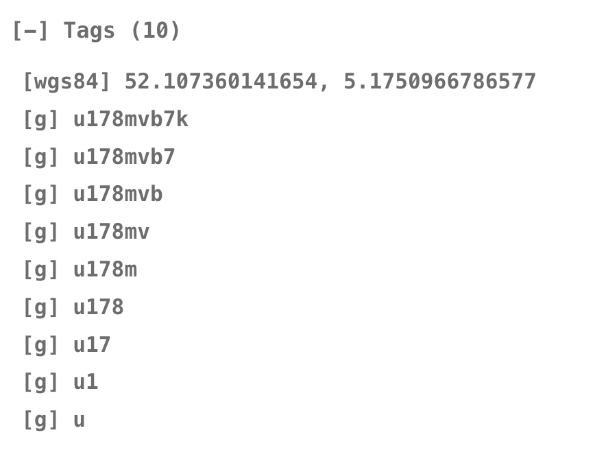
It's not really a spec for notation, it just describes the common coordinate system: https://en.m.wikipedia.org/wiki/World_Geodetic_System

Thread collapsed