
Why does it have an l-tag for each decimal point in both lat and lon coords? Is that how the geotag nip work (I haven't read much about it)?
Discussion
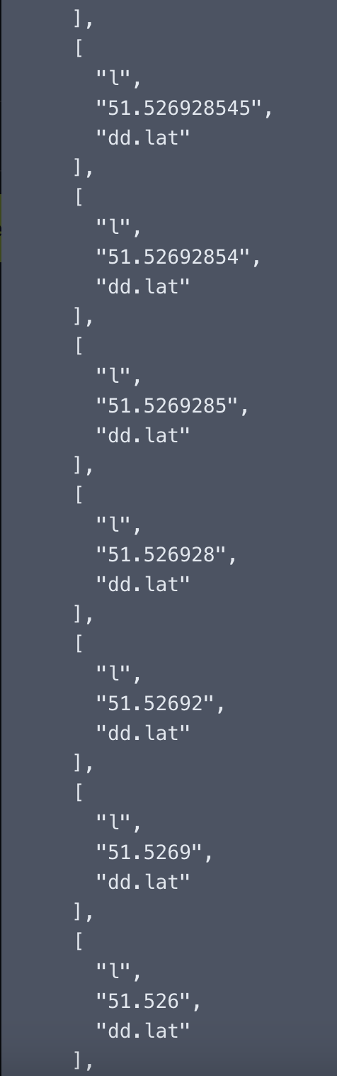

I don't know either. My guess is that's for very laze search mechanism. It's especially useful for geohash, so you can look for other pictures in the same small / wide area.
Maybe less so for lat/lon.
I might modify the script to only do incrementally sized geohash and just have a single lat/lon coordinate.