
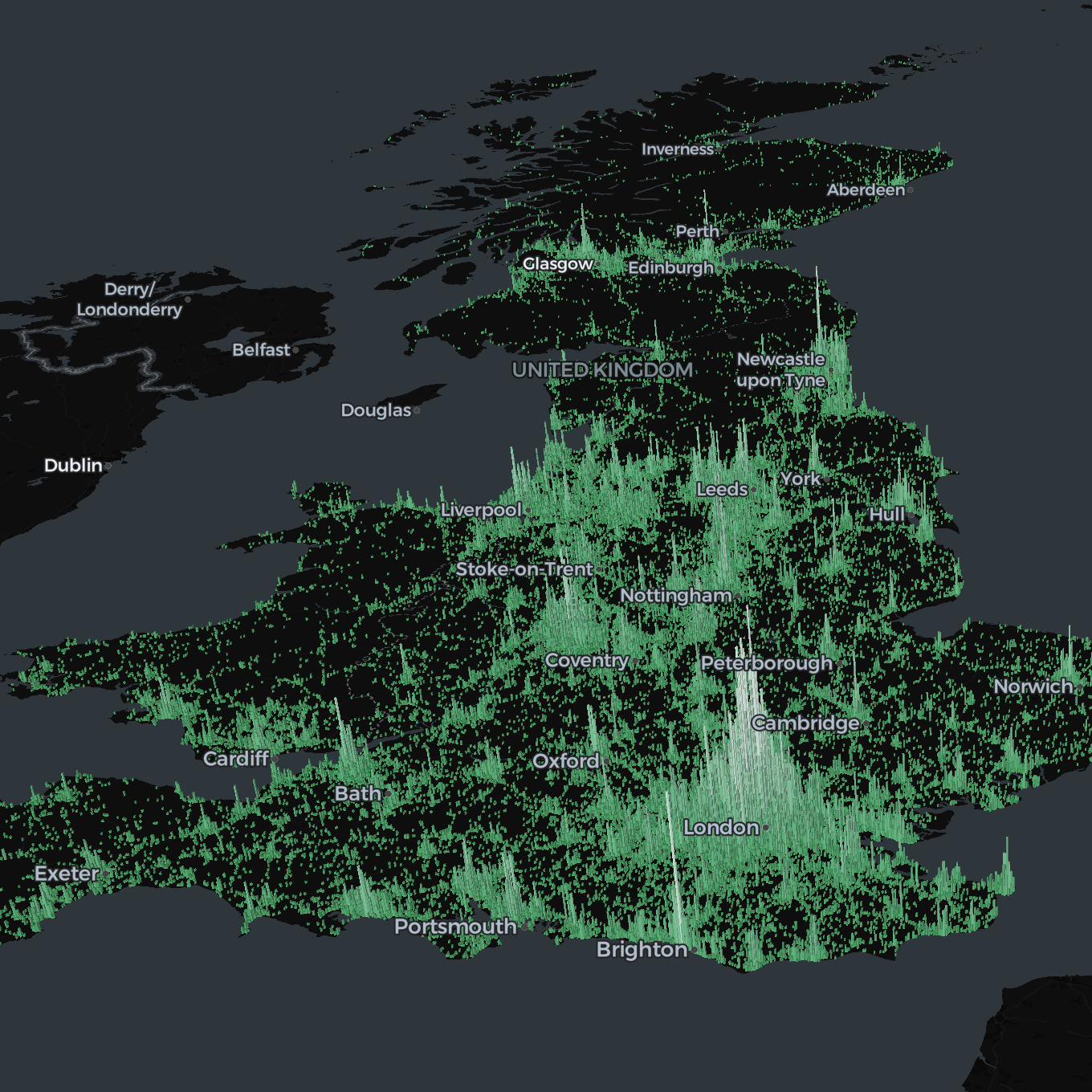
A5 | Flexible representation of geospatial data
A5 is used for representing points, lines, and polygons in a unified cell format, which is well suited for combining datasets and aggregating data.


originally posted at https://stacker.news/items/956039