
Why do we believe we can penentrate miles into the ground with radar?
Discussion

Well I worked for a mining company in their geophysical services department back in the 1990s. Radar was one of the data sets that the geophysicists used to look for underground rock formations. I don't remember how far down we were able to analyze back then.

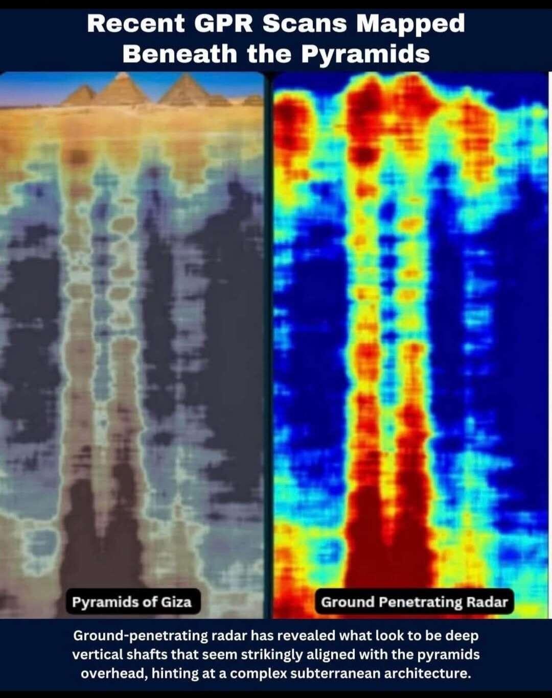
It’s not GPR. That graphic is inaccurate. They’re using InSAR from multiple angles and using a new, proprietary AI software they developed to create a model from the interference patterns in the near-surface level readings. Still a lot to verify before it “proves” anything, but it at least gives enough evidence to warrant further investigation as they’re the only ones with access to the software.
It looks like thousands of years of compaction and harmonic reflections under a cubic object more than an "underground city"